Showing posts with label Arte Rupestre. Show all posts

Friday, 8 January 2010

Walking and A Little Bit of History

On Thursday morning we had a frost, but the sun was shining so we went out for a walk near to Penacova. We started off at Portela da Oliveira where there are ruined windmills and fantastic panoramic views. We could see the Serra da Estrela clearly with its snow topped peaks.


There is actually a geocache here but as it is a multicache and we have problems translating the clues from Portugese, we decided to leave it for another day. We have details of another walk in the area of Penacova (10km).

The walk took us through several villages and though there was a bit of road walking, most of it was off road. We struggled a few times though as the map we had taken from one of the information boards was different to the actual waymarkers on the ground. We sometimes risked deviating from what was calibrated on our gps because we figured the waymarkers would lead us to the same place, albeit by a different route.

Again we were privileged to see parts of rural Portugal that lie off the beaten track. It was so warm we eventually succumbed and took off our coats. When we returned to the car we went into the tiny cafe near the mills and enjoyed a huge mug of cafe meio leite (milky coffee) and it was delicious. The gentleman who runs the cafe was really welcoming.

All in all a lovely winter's day.

Saturday - it was another frosty night but the sun was lovely and warm. We went out geocaching and they all gave us glimpses of Portugese history.

The first visit was to a memorial of a horrific train crash that happened in 1985 at Beira Alta. The train line is single track and at the time communications weren't sophisticated enough to warn the train drivers of the imminent collision. The memorial site marks the spot near where the collision occurred. Many people died. It was a very moving place to be.


We then visited a site with some Arte Rupestre near Mangualde. The carvings were made in granite stone and were quite distinct.

The last two caches were to dolmens. The first one (Anta da Cunha Baixa / Casa da Orca) dates back to the Middle Neolithic Age. It is the largest and best preserved dolmen in Portugal. The location was very peaceful and rural.


The last dolmen (Anta de Carvalhal da Louça) was a lot smaller but there have been finds of quartz blades/arrow heads. This last site was in what must have been a really impressive landscape at the time of its construction. Unfortunately, there is a busy main road nearby though so it does take some imagination to picture how it must have been.

Today, Sunday, no frost but we have had a snow shower! Quite windy too. The snow has not stuck as it's several degrees above freezing.

Wednesday, 2 December 2009

Piódão, Chas d'Egua and Foz d'Égua

On Monday 30 November we did a geocache that took us to the Parque Arqueológico de S. Bartolomeu in Meruge near to Oliveira do Hospital. (The village of Meruge holds an annual fair of pork and sausage (ie Feira do Porco e do Enchido) each November which is worth visiting if you like pork).

Near to the Parque Arqueológico de S. Bartolomeu is a monument site called Sepulturas Antropomórficas. It is believed that the whole area has been inhabited by Romans, perhaps Visigoths, Arabs or Mozarab. Their graves at the site are clearly visible, carved in the granite (one child and five adults).


Yesterday, 1 December, it rained most of the day and night. But today was fine and we were off out geocaching again. This time we headed for Piódão, that is a historic schist village in the mountains (Serra do Acor).

On the way there we stopped at the Arte Rupestre: Centro Interpretativo de Chãs d´Égua, Arganil. The centre is closed Mondays and Tuesdays. Entry is free. The centre is very small and there is no information in English, but there are a couple of "finds" showing the carvings on pottery and on slate. There is also an information panel indicating where in the immediate landscape some of the artwork has been found.

We travelled further up the valley to Piódão and found an information board outside the tourist information centre outlining a circular walk around Piódão itself.


There are also slate waymarkers to nearby villages Foz d'Égua and Chas d'Egua but though we asked at the tourist information centre there were no maps available. The trouble with these walks is that the paths are not very well marked from what we can see. The original slate markers are sometimes broken or have disappeared altogether.

The best tourist information centre we have found is at Loriga. All of the others so far have not been able to provide us with the information we require, namely maps, leaflets or information about walks. Sometimes they indicate that you could try the another tourist information centre.

We are going to visit the Algarve to do some walking. The Algarve is currently about 3-5 degrees warmer than Central Portugal but cool enough for us to enjoy hiking and walking. We were chuffed when we discovered a booklet in Portugese entitled "Guia de percursos pedestres do Algarve" that looks really useful for exploring the Algarve on foot. But realistically we need it in English. On Monday we rang the tourist information centre in Albufeira (as we will be staying in that resort) and asked about the guide. No they didn't have it in English, and no they didn't have any of the Portugese versions either. They told us to try another tourist information centre. Is it us, or don't they get many English tourists on the Algarve, or maybe they just don't expect us to want to leave the beaches? It's quite disappointing that the tourist information centres are just really not equipped to help people who want to explore the country outside their car.

On the way back from Piódão we stopped at the really pretty village of Foz d'Égua. A lovely end to a lovely day out.

Thursday, 19 November 2009

Colcurinho

Yesterday we set off to do a geocache multi-cache with our new gps unit. With a new unit there are a few things you need to do, first of all it has travelled from the UK so it needs to find where it is, and then Jon had to calibrate the compass by holding the unit level, and turn round slowly in the same direction twice. No, it's not 1 April. It worked.

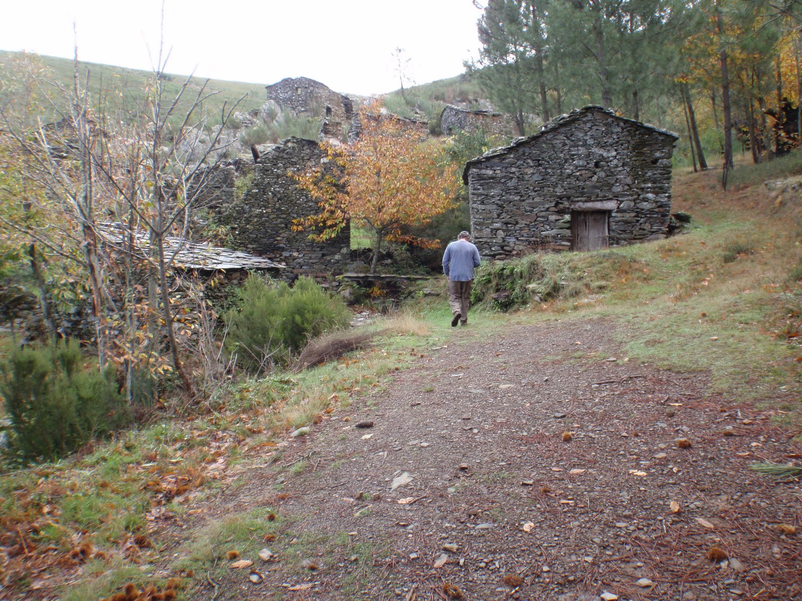
The multi-cache started at an amazing ruined schist village called Colcurinho. We explored the village and found the clues to the next stage. At the side of the village we noticed a footpath sign (noted to explore on another day).


Part two of the multi took us to a really pretty village called Santuário de Nossa Senhora das Preces. To enter the village you drive through gates, which feels a bit like you are trespassing. It sort of reminded us of Portmeirion, only you didn't pay to go in. We had a really lovely cup of coffee (cafe meio leite) at the cafe kiosk in the main square, 55 cents a cup. We found our cache clue which would take us to our final destination, but before we set off we visited the Botanical Garden.

The third and final part of the cache took us up, up, up and up to the top of Monte Colcurinho. On the top of the mountain is a chapel called Capela da Nossa Senhora das Necessidade. This place also has toilets, and a bar area. It was all locked up but we gather they have festas up here. The panoramic views were fantastic.

The gps performed very well, though we want to try and conserve the power a bit more to use less batteries. There are other things we want to try out with the gps, uploading existing gpx tracks for walks, and uploading the maps we aligned in Google Earth to see how accurate they are.

Today we are off to Arganil (Thursday is market day) to visit the tourist information centre mainly. We want to try and find information about the Centro Interpretativo de Chãs d´Égua, Arganil (Arte Rupestre near Piodao). We found out, when we were trying to find the walks near Colcurinho, that there are ancient cart tracks and spirals and the centre at Chas de Egua is dedicated to these.